
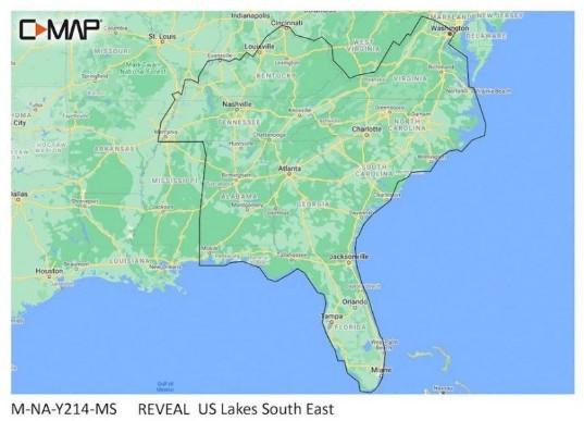

C-MAP Reveal – US Lakes South East

SKU: CMAPM-NA-Y214-MS

C-MAP Reveal – US Lakes South East

$179.00

Envío y origen
  • Envíos a toda Venezuela mediante empresas de encomienda con cobertura nacional.
  • Procesamiento del pedido: 1 a 3 días hábiles tras la confirmación del pago.
  • El costo de envío se calcula al finalizar la compra. Pedidos desde $199 con envío gratis.
  • Las imágenes y especificaciones de los productos son suministradas por el fabricante.
Política de envíos y devoluciones
0 personas están viendo este producto ahora

Métodos de pago:

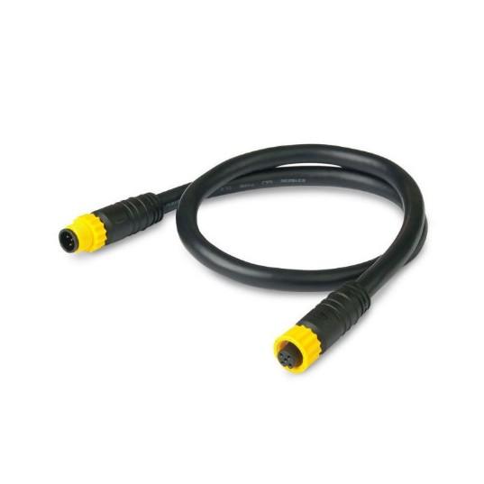
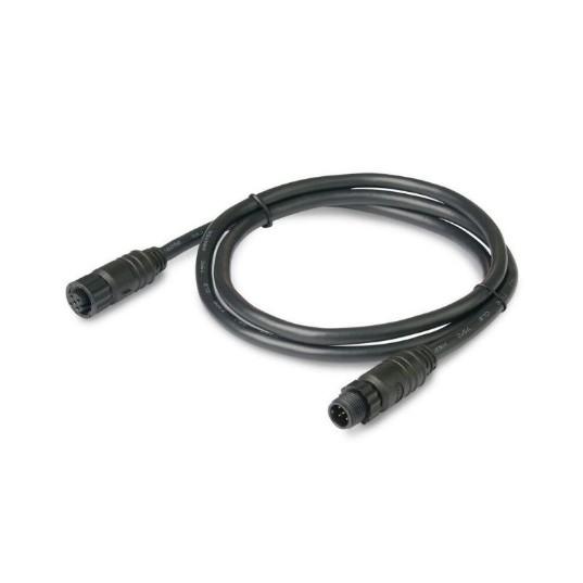
C-MAP Reveal – US Lakes South East Electrical Cable

The C-MAP Reveal – US Lakes South East is an electrical cable for marine navigation, weighing 0.07 lbs and measuring 4 x 6 x 0 inches. It provides detailed mapping solutions for lakes in the southeastern United States, designed for installation in C-MAP compatible chartplotters.

Compatibility & Applications

  • Fits C-MAP compatible chartplotters for enhanced navigation.
  • Provides detailed lake maps for recreational boating and fishing.
  • Integrates with existing C-MAP software for improved functionality.
  • Supports navigation for vessels from small fishing boats to larger recreational crafts.
  • Replaces older C-MAP lake mapping products without requiring new hardware.
  • Mounts in various chartplotter models for straightforward installation.

The unit enhances navigational accuracy for boaters exploring southeastern lakes, delivering up-to-date mapping information. As a direct replacement for previous C-MAP lake mapping products, it ensures compatibility without additional hardware modifications, making installation efficient for users upgrading their navigation systems.

Technical Specifications

Weight 0.07 lbs
Dimensions (L × W × H) 4.00 × 6.00 × 2.00 in
Peso0.10 lbs
Dimensiones6.00 × 5.00 × 1.00 in

Descripción

C-MAP Reveal – US Lakes South East Electrical Cable

The C-MAP Reveal – US Lakes South East is an electrical cable for marine navigation, weighing 0.07 lbs and measuring 4 x 6 x 0 inches. It provides detailed mapping solutions for lakes in the southeastern United States, designed for installation in C-MAP compatible chartplotters.

Compatibility & Applications

  • Fits C-MAP compatible chartplotters for enhanced navigation.
  • Provides detailed lake maps for recreational boating and fishing.
  • Integrates with existing C-MAP software for improved functionality.
  • Supports navigation for vessels from small fishing boats to larger recreational crafts.
  • Replaces older C-MAP lake mapping products without requiring new hardware.
  • Mounts in various chartplotter models for straightforward installation.

The unit enhances navigational accuracy for boaters exploring southeastern lakes, delivering up-to-date mapping information. As a direct replacement for previous C-MAP lake mapping products, it ensures compatibility without additional hardware modifications, making installation efficient for users upgrading their navigation systems.

Technical Specifications

Weight 0.07 lbs
Dimensions (L × W × H) 4.00 × 6.00 × 2.00 in

Especificaciones

Resumen

Peso0.10 lbs
Dimensiones6.00 × 5.00 × 1.00 in

Opiniones de clientes