

GARMIN ECHOMAP UHD2 74sv without Transducer; Includes Garmin Navionics+ U.S. Coastal & Great Lakes Mapping

SKU: GAREMUHD274SV/WO

GARMIN ECHOMAP UHD2 74sv without Transducer; Includes Garmin Navionics+ U.S. Coastal & Great Lakes Mapping

$999.99

Envío y origen
  • Envíos a toda Venezuela mediante empresas de encomienda con cobertura nacional.
  • Procesamiento del pedido: 1 a 3 días hábiles tras la confirmación del pago.
  • El costo de envío se calcula al finalizar la compra. Pedidos desde $199 con envío gratis.
  • Las imágenes y especificaciones de los productos son suministradas por el fabricante.
Política de envíos y devoluciones
0 personas están viendo este producto ahora

Métodos de pago:

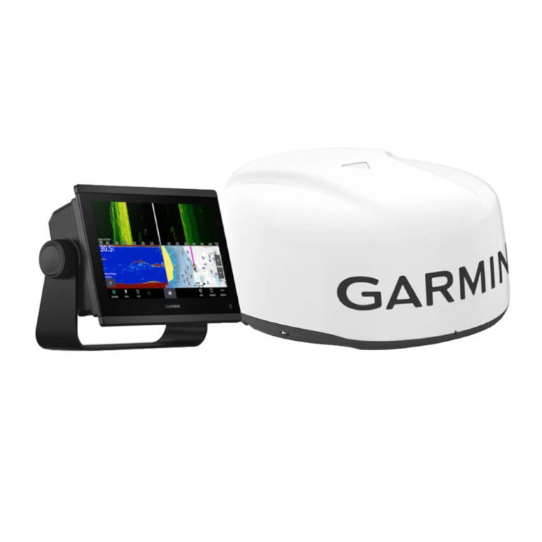
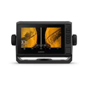
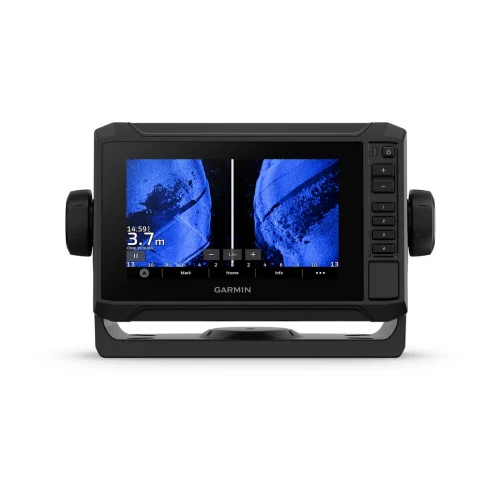
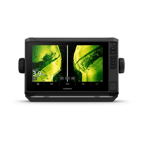
GARMIN ECHOMAP UHD2 74sv Chartplotter

The GARMIN ECHOMAP UHD2 74sv is a 7-inch chartplotter equipped with Garmin Navionics+ U.S. Coastal and Great Lakes mapping. This unit is installed on center consoles, flybridges, and helm stations, providing essential navigation data for vessels ranging from 18 to 30 ft.

Compatibility & Applications

  • Fits mounting locations on center consoles, flybridges, and helm stations.
  • Pairs with compatible Garmin transducers for enhanced sonar capabilities.
  • Integrates with NMEA 2000 networks for seamless communication with other marine electronics.
  • Replaces older GARMIN chartplotters such as the GPSMAP 7400 series.
  • Supports vessel sizes from 18 to 30 ft, including yachts and fishing boats.

This unit provides advanced navigation features and detailed mapping for U.S. coastal and Great Lakes waters. It serves as a reliable drop-in replacement for older GARMIN models, enhancing navigation accuracy and ease of use, particularly in complex coastal environments.

Peso5.00 lbs
Dimensiones8.00 × 12.00 × 8.00 in

Descripción

GARMIN ECHOMAP UHD2 74sv Chartplotter

The GARMIN ECHOMAP UHD2 74sv is a 7-inch chartplotter equipped with Garmin Navionics+ U.S. Coastal and Great Lakes mapping. This unit is installed on center consoles, flybridges, and helm stations, providing essential navigation data for vessels ranging from 18 to 30 ft.

Compatibility & Applications

  • Fits mounting locations on center consoles, flybridges, and helm stations.
  • Pairs with compatible Garmin transducers for enhanced sonar capabilities.
  • Integrates with NMEA 2000 networks for seamless communication with other marine electronics.
  • Replaces older GARMIN chartplotters such as the GPSMAP 7400 series.
  • Supports vessel sizes from 18 to 30 ft, including yachts and fishing boats.

This unit provides advanced navigation features and detailed mapping for U.S. coastal and Great Lakes waters. It serves as a reliable drop-in replacement for older GARMIN models, enhancing navigation accuracy and ease of use, particularly in complex coastal environments.
Especificaciones

Resumen

Peso5.00 lbs
Dimensiones8.00 × 12.00 × 8.00 in

Opiniones de clientes