
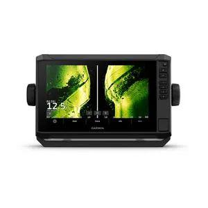

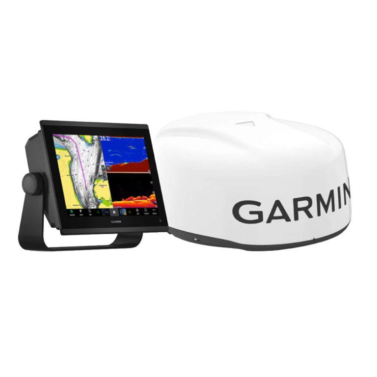
GARMIN ECHOMAP UHD2 94sv without Transducer; Includes Garmin Navionics+ U.S. Coastal & Great Lakes Mapping

SKU: GAREMUHD294SV/WO

GARMIN ECHOMAP UHD2 94sv without Transducer; Includes Garmin Navionics+ U.S. Coastal & Great Lakes Mapping

$1,299.99

Envío y origen
  • Envíos a toda Venezuela mediante empresas de encomienda con cobertura nacional.
  • Procesamiento del pedido: 1 a 3 días hábiles tras la confirmación del pago.
  • El costo de envío se calcula al finalizar la compra. Pedidos desde $199 con envío gratis.
  • Las imágenes y especificaciones de los productos son suministradas por el fabricante.
Política de envíos y devoluciones
0 personas están viendo este producto ahora

Métodos de pago:

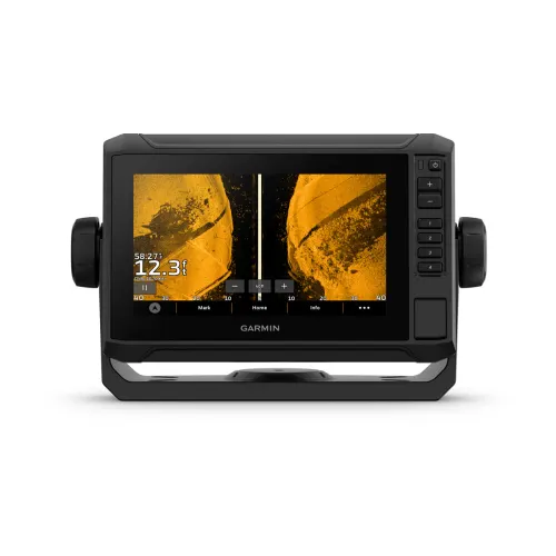
GARMIN ECHOMAP UHD2 94sv Chartplotter

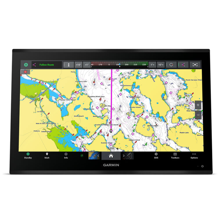
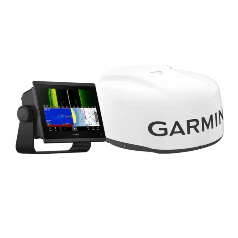
The GARMIN ECHOMAP UHD2 94sv is a 9-inch chartplotter that includes Garmin Navionics+ U.S. Coastal and Great Lakes mapping for precise navigation. This unit is designed for marine navigation, providing detailed charts and user-friendly controls for installation on vessels ranging from 20 to 40 feet in length.

Compatibility & Applications

  • Fits standard mounting brackets for easy installation on boats.
  • Pairs with various Garmin transducers for enhanced sonar capabilities.
  • Integrates with NMEA 2000 for connectivity with other marine electronics.
  • Mounts on center consoles, flybridges, and helm stations of vessels 20-40 ft.
  • Replaces older GARMIN chartplotters such as the GPSMAP 7400 series.
  • Wires to 12V DC power systems for direct installation.

The unit provides advanced navigation features and high-resolution mapping, making it an upgrade for vessels navigating coastal and inland waterways. An installation scenario includes mounting on a center console of a 30-foot sportfish boat, providing enhanced chart detail compared to older chartplotters.

Peso5.00 lbs
Dimensiones10.00 × 13.00 × 8.00 in

Descripción

GARMIN ECHOMAP UHD2 94sv Chartplotter

The GARMIN ECHOMAP UHD2 94sv is a 9-inch chartplotter that includes Garmin Navionics+ U.S. Coastal and Great Lakes mapping for precise navigation. This unit is designed for marine navigation, providing detailed charts and user-friendly controls for installation on vessels ranging from 20 to 40 feet in length.

Compatibility & Applications

  • Fits standard mounting brackets for easy installation on boats.
  • Pairs with various Garmin transducers for enhanced sonar capabilities.
  • Integrates with NMEA 2000 for connectivity with other marine electronics.
  • Mounts on center consoles, flybridges, and helm stations of vessels 20-40 ft.
  • Replaces older GARMIN chartplotters such as the GPSMAP 7400 series.
  • Wires to 12V DC power systems for direct installation.

The unit provides advanced navigation features and high-resolution mapping, making it an upgrade for vessels navigating coastal and inland waterways. An installation scenario includes mounting on a center console of a 30-foot sportfish boat, providing enhanced chart detail compared to older chartplotters.
Especificaciones

Resumen

Peso5.00 lbs
Dimensiones10.00 × 13.00 × 8.00 in

Opiniones de clientes