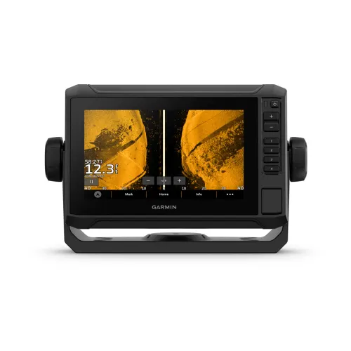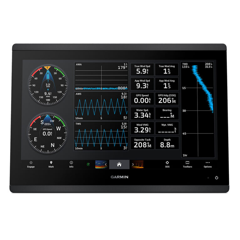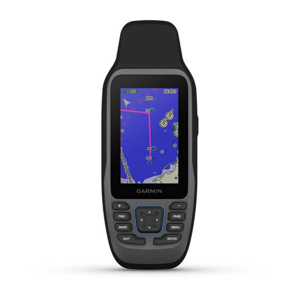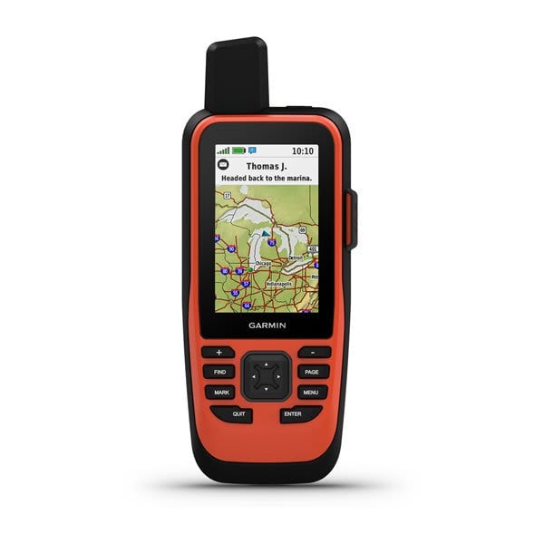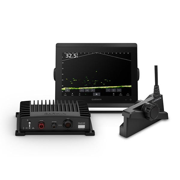

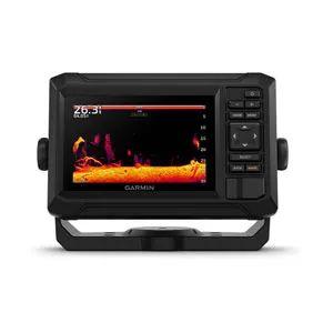

GARMIN ECHOMAP UHD2 54cv without Transducer; includes Garmin Navionics+ U.S. Coastal & Great Lakes Mapping

SKU: GAREMUHD254CV/WO/GN+

GARMIN ECHOMAP UHD2 54cv without Transducer; includes Garmin Navionics+ U.S. Coastal & Great Lakes Mapping

$449.99

Envío y origen
  • Envíos a toda Venezuela mediante empresas de encomienda con cobertura nacional.
  • Procesamiento del pedido: 1 a 3 días hábiles tras la confirmación del pago.
  • El costo de envío se calcula al finalizar la compra. Pedidos desde $199 con envío gratis.
  • Las imágenes y especificaciones de los productos son suministradas por el fabricante.
Política de envíos y devoluciones
0 personas están viendo este producto ahora

Métodos de pago:

GARMIN ECHOMAP UHD2 54cv Chartplotter

The GARMIN ECHOMAP UHD2 54cv is a 54 cm (21.3 in) chartplotter featuring Garmin Navionics+ U.S. Coastal and Great Lakes mapping. This unit is installed on helm stations and dashboards of vessels, providing essential navigation data for safe and efficient boating.

Compatibility & Applications

  • Mounts on helm stations and dashboards of vessels up to 30 ft.
  • Integrates with NMEA 2000 networks for sensor connections.
  • Pairs with compatible Garmin transducers for enhanced sonar capabilities.
  • Replaces older Garmin chartplotters without requiring additional mounting hardware.
  • Wires to 12V DC bus systems for power supply.
  • Fits into standard mounting cutouts used by previous Garmin models.

This unit provides comprehensive mapping capabilities and serves as a drop-in replacement for older Garmin models, ensuring integration with NMEA 2000 systems for expanded functionality. A specific installation example includes mounting on a 24 ft center console fishing boat, where it provides real-time navigation data and sonar integration.

Technical Specifications

Weight 1.10 lbs
Dimensions (L × W × H) 7.40 × 4.80 × 2.40 in
Peso1.10 lbs
Dimensiones7.40 × 4.80 × 2.40 in

Descripción

GARMIN ECHOMAP UHD2 54cv Chartplotter

The GARMIN ECHOMAP UHD2 54cv is a 54 cm (21.3 in) chartplotter featuring Garmin Navionics+ U.S. Coastal and Great Lakes mapping. This unit is installed on helm stations and dashboards of vessels, providing essential navigation data for safe and efficient boating.

Compatibility & Applications

  • Mounts on helm stations and dashboards of vessels up to 30 ft.
  • Integrates with NMEA 2000 networks for sensor connections.
  • Pairs with compatible Garmin transducers for enhanced sonar capabilities.
  • Replaces older Garmin chartplotters without requiring additional mounting hardware.
  • Wires to 12V DC bus systems for power supply.
  • Fits into standard mounting cutouts used by previous Garmin models.

This unit provides comprehensive mapping capabilities and serves as a drop-in replacement for older Garmin models, ensuring integration with NMEA 2000 systems for expanded functionality. A specific installation example includes mounting on a 24 ft center console fishing boat, where it provides real-time navigation data and sonar integration.

Technical Specifications

Weight 1.10 lbs
Dimensions (L × W × H) 7.40 × 4.80 × 2.40 in

Especificaciones

Resumen

Peso1.10 lbs
Dimensiones7.40 × 4.80 × 2.40 in

Opiniones de clientes